 W
WFalls Creek, also known as the Falls River, is a tributary of the Tuolumne River in Yosemite National Park, California, United States. The creek begins at the northern boundary of the national park and flows 24 miles (39 km) to empty into the Tuolumne at Hetch Hetchy Reservoir, dropping over two well-known waterfalls. The Pacific Crest Trail and other national park trails follow the creek for much of its course.
 W
WThe Merced River, in the central part of the U.S. state of California, is a 145-mile (233 km)-long tributary of the San Joaquin River flowing from the Sierra Nevada into the San Joaquin Valley. It is most well known for its swift and steep course through the southern part of Yosemite National Park, where it is the primary watercourse flowing through Yosemite Valley. The river's character changes dramatically once it reaches the plains of the agricultural San Joaquin Valley, where it becomes a slow-moving meandering stream.
 W
WPiute Creek is a 19-mile (31 km) long stream in northern Yosemite National Park, in Tuolumne County, California. It is a major tributary of the Tuolumne River, draining a rugged and remote area of the Sierra Nevada.
 W
WRancheria Creek is a 22-mile (35 km) long stream in northern Yosemite National Park mostly in Tuolumne County, California and is a tributary of the Tuolumne River. Draining a large area of the Sierra Nevada, it is the largest tributary of the Tuolumne within Yosemite National Park. The stream is labeled as Kerrick Creek on some early maps.
WReturn Creek is a stream in the northeast part of Yosemite National Park, in Tuolumne County, California, and is a tributary of the Tuolumne River. About 13 miles (21 km) in length, it is the first major tributary to join downstream of Tuolumne Meadows. The creek begins at Return Lake on the Sierra Crest, near Virginia Pass, and flows initially east before turning southwest and joining with McCabe Creek and Spiller Creek. On its path to the Tuolumne River the creek has carved out the 2,000-foot (610 m) deep Virginia Canyon, which was enlarged to its present shape by glaciation. After its confluence with Matterhorn Creek it flows south-southwest to its confluence with the Tuolumne River, about a quarter mile below Waterwheel Falls.
 W
WThe South Fork Merced River is the largest tributary of the Merced River. Most of the river flows within Yosemite National Park in the Sierra Nevada of California. The river is 43 miles (69 km) long, and its drainage basin covers about 240 square miles (620 km2), of which 109 square miles (280 km2) are in the national park. The average flow at the mouth is 356 cubic feet per second (10.1 m3/s).
 W
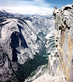
WTenaya Canyon is a dramatic and dangerous canyon in Yosemite National Park, California, USA, that runs from the outlet of Tenaya Lake 10 miles down to Yosemite Valley, carrying water in Tenaya Creek through a series of spectacular cascades and pools and thence into a deep canyon below Cloud's Rest, a giant granite mountain adjacent to Half Dome. Waterfalls on the creek inside the canyon include Pywiack Cascade and Three Chute Falls, near Mirror Lake.
 W
WThe Tuolumne River flows for 149 miles (240 km) through Central California, from the high Sierra Nevada to join the San Joaquin River in the Central Valley. Originating at over 8,000 feet (2,400 m) above sea level in Yosemite National Park, the Tuolumne drains a rugged watershed of 1,958 square miles (5,070 km2), carving a series of canyons through the western slope of the Sierra. While the upper Tuolumne is a fast-flowing mountain stream, the lower river crosses a broad, fertile and extensively cultivated alluvial plain. Like most other central California rivers, the Tuolumne is dammed multiple times for irrigation and the generation of hydroelectricity.
 W
WYosemite Creek is a 13.2-mile-long (21.2 km) creek of the Sierra Nevada, located in Yosemite National Park, Mariposa County, California.