 W
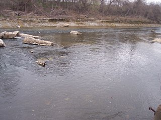
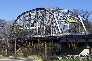
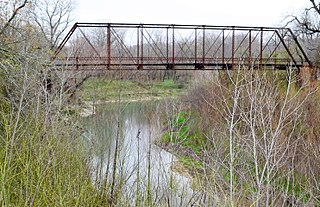
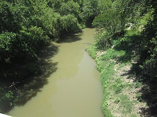
WThe Brazos River, called the Río de los Brazos de Dios by early Spanish explorers, is the 11th-longest river in the United States at 1,280 miles (2,060 km) from its headwater source at the head of Blackwater Draw, Curry County, New Mexico to its mouth at the Gulf of Mexico with a 45,000-square-mile (116,000 km2) drainage basin. Being one of Texas' largest rivers, it is sometimes used to mark the boundary between East Texas and West Texas.
 W
WBlackwater Draw is an intermittent stream channel about 140 km (87 mi) long, with headwaters in Roosevelt County, New Mexico, about 18 km (11 mi) southwest of Clovis, New Mexico, and flows southeastward across the Llano Estacado toward the city of Lubbock, Texas, where it joins Yellow House Draw to form Yellow House Canyon at the head of the North Fork Double Mountain Fork Brazos River. It stretches across eastern Roosevelt County, New Mexico, and Bailey, Lamb, Hale, and Lubbock Counties of West Texas and drains an area of 1,560 sq mi (4,040 km2).
 W
WThe Bosque River is a 115-mile (185.1 km) long river in Central Texas fed by four primary branches. The longest branch, the North Bosque, forms near Stephenville, and flows toward Waco through Hamilton, Bosque and McLennan counties. It is subsequently joined by the East Bosque in Bosque County and the Middle and South Bosque Rivers near Waco. The river terminates into the Brazos River, and is dammed nearby to form Lake Waco.
 W
WThe Brazos River Authority or BRA was created in 1929 by the Texas Legislature as a quasi-governmental entity to manage the Brazos River as a water resource in Texas. It was originally named the Brazos River Conservation and Reclamation District and renamed to the current name in 1953. The central office is located at 4600 Cobbs Drive in Waco.
 W
WBrazos Valley comprises the following 7 counties in Central Texas: Brazos, Burleson, and Robertson, and the neighboring counties of Grimes, Leon, Madison, and Washington.
 W
WThe Clear Fork Brazos River is the longest tributary of the Brazos River of Texas. It originates as a dry channel or draw in Scurry County about 2 mi (3.2 km) northeast of Hermleigh and runs for about 180 mi (290 km) through portions of Scurry, Fisher, Jones, Shackelford and Throckmorton counties before joining the main stem of the Brazos River in Young County about 7.8 mi (12.6 km) south-southeast of Graham, Texas.
 W
WCyprinodon rubrofluviatilis, known as the Red River pupfish, is a species of pupfish from the United States. It is found only in the Red River of the South and Brazos River drainages of Texas and Oklahoma.
 W
WThe Double Mountain Fork Brazos River is an ephemeral, sandy-braided stream about 170 mi (280 km) long, heading on the Llano Estacado of West Texas about 11.5 mi (18.5 km) southeast of Tahoka, Texas, flowing east-northeast across the western Rolling Plains to join the Salt Fork, forming the Brazos River about 17 mi (27 km) west-northwest of Haskell, Texas.
 W
WGoodbye to a River is a book by John Graves, published in 1960. It is a "semi-historical" account of a canoe trip made by the author during the fall of 1957 down a stretch of the Brazos River in North Central Texas, between Possum Kingdom Dam and Lake Whitney. The book presents both the author's account of the trip itself and numerous stories about the history and settlement of the area around the river and of North Central Texas. The title refers to Graves' childhood association with the river and the country surrounding it, and his fear of the "drowning" effect that a proposed series of flood-control dams would have on the river.
 W
WLake Granbury is a North Texas reservoir near Granbury, Texas. It was created in 1969 and is one of three lakes damming the Brazos River.
 W
WThe Leon River is a river in the U.S. state of Texas. It has three primary forks; the North, Middle, and South Leon rivers which meet near Eastland and then run for around 185 miles (298 km) until it meets with the Lampasas River and the Salado Creek to form the Little River near Belton.
 W
WThe Little River is a river in Central Texas in the Brazos River watershed. It is formed by the confluence of the Leon River and the Lampasas River near Little River, Texas in Bell County. It flows generally southeast for 75 miles (121 km) until it empties into the Brazos River about 5 miles (8.0 km) southwest of Hearne, at a site called Port Sullivan in Milam County. The Little River has a third tributary, the San Gabriel River, which joins the Little about 8 miles (13 km) north of Rockdale and five miles southwest of Cameron. Cameron, the county seat of Milam County and the only city of any significant size on the Little River, was established in 1846.
 W
WThe Navasota River is a river in east Texas, United States. It is about 125 miles (201 km) long, beginning near Mount Calm and flowing south into the Brazos River at a point where Brazos, Grimes, and Washington counties converge.
 W
WThe North Fork Double Mountain Fork Brazos River is an intermittent stream about 75 mi (121 km) long, heading at the junction of Blackwater Draw and Yellow House Draw in the city of Lubbock, flowing generally southeastward to its mouth on the Double Mountain Fork Brazos River in western Kent County. It crosses portions of Lubbock, Crosby, Garza, and Kent counties in West Texas.
 W
WPossum Kingdom Lake, is a reservoir on the Brazos River located primarily in Palo Pinto County Texas. It was the first water supply reservoir constructed in the Brazos River basin. The lake has an area of approximately 17,000 acres (6,900 ha) with 310 miles (500 km) of shoreline. It holds 750,000 acre feet (930,000,000 m3) of water with 550,000 acre feet (680,000,000 m3) available for water supply.
 W
WThe San Gabriel River is a river that flows through central Texas. The San Gabriel River is formed in Georgetown, Texas by the confluence of the North Fork San Gabriel and the South Fork San Gabriel, both of which originate in Burnet County. There are two major impoundments of the river: Lake Georgetown along the North Fork, and Granger Lake, about 25 miles (40 km) below the confluence. Both are U.S. Army Corps of Engineers impoundments. The San Gabriel River joins the Little River five miles south of Cameron which then meets the Brazos River northwest of College Station. There is a city park in Georgetown at the confluence of the North and South Forks, with a well-known local swimming spot located just upriver from the confluence on the South Fork.
 W
WYegua Creek is a river in Central Texas and is part of the Brazos River drainage basin. Yegua Creek forms in Lee County at the confluence of the Middle Yegua Creek and East Yegua Creek about three miles west of Somerville Lake. It is the primary tributary to form Somerville Lake. The Yegua flows east and becomes part of the Burleson County line for about 31 miles and then joins the Brazos River in southeastern Washington County. The Yegua below the Somerville Dam is a slow-moving, gentle river but is nevertheless used for some mild recreational canoeing and kayaking.
 W
WYellow House Canyon is about 32 km (20 mi) long, heading in Lubbock, Texas, at the junction of Blackwater Draw and Yellow House Draw, and trending generally southeastward to the edge of the Llano Estacado about 10 km (6.2 mi) east of Slaton, Texas; it forms one of three major canyons along the east side of the Llano Estacado and carries the waters of the North Fork Double Mountain Fork Brazos River.
 W
WYellow House Draw is an ephemeral watercourse about 236 km (147 mi) long, heading about 20 km (12 mi) southwest of Melrose, New Mexico, and tending generally east-southeastward across the Llano Estacado to the city of Lubbock, where it joins Blackwater Draw to form Yellow House Canyon at the head of the North Fork Double Mountain Fork Brazos River. It stretches across Roosevelt, Curry, Bailey, Cochran, Hockley, and Lubbock Counties of eastern New Mexico and West Texas, and drains an area of 9,790 km2 (3,780 sq mi).